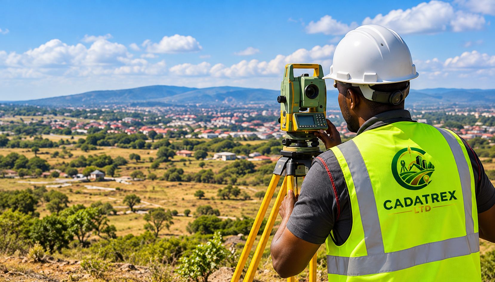
A precise approach to your land.
Precision starts on the ground. We use surveying equipment and local expertise to measure, map and establish a clear understanding of your land, supporting planning, development and investment decisions.
How we can help
- Boundary surveys
- Topographical mapping
- Geospatial data and plans